
Anomalies on GOES satellites
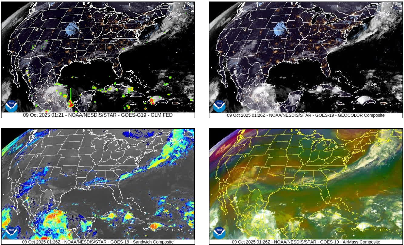
I just saw these current views of the satellite imagery.... Four different types of images:
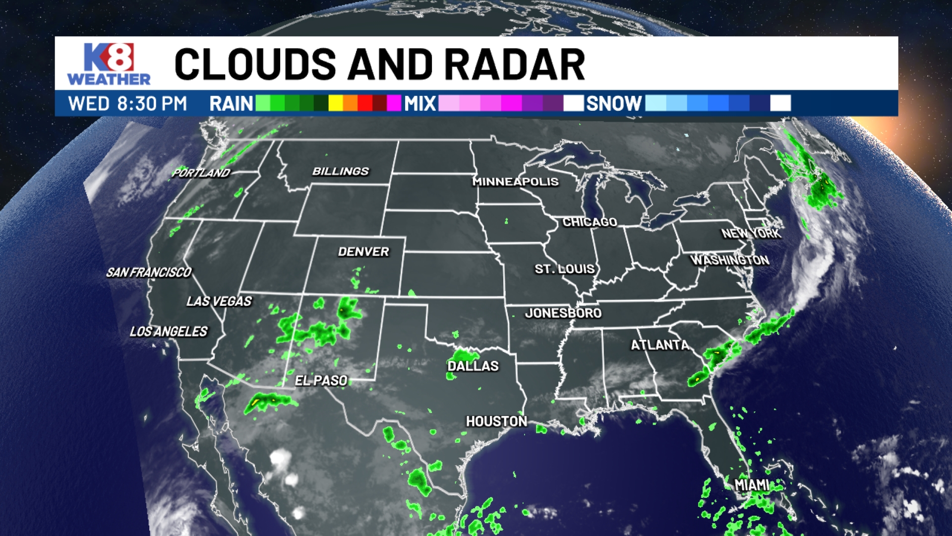
Radar:
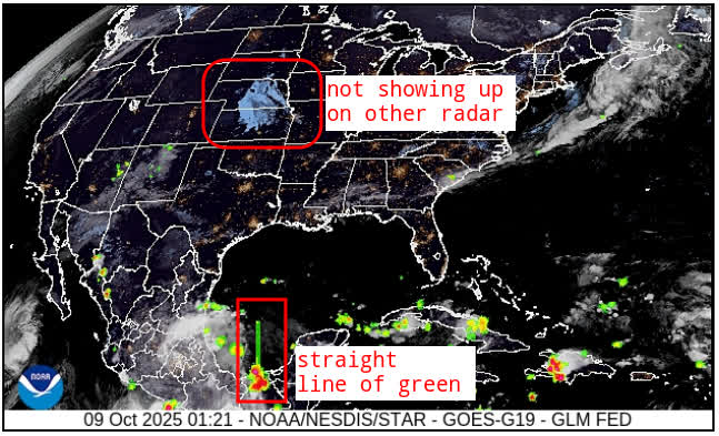
Now that I am looking closer, I do see a faint outline of something over Kansas and Nebraska. What is it? It could be natural. The anomaly of the straight green line going up from Mexico is not natural.
NOAA has a page dedicated to anomalies:
https://www.star.nesdis.noaa.gov/goesr/ESPCMessages.php?year=2025
Radar:
Now that I am looking closer, I do see a faint outline of something over Kansas and Nebraska. What is it? It could be natural. The anomaly of the straight green line going up from Mexico is not natural.
NOAA has a page dedicated to anomalies:
https://www.star.nesdis.noaa.gov/goesr/ESPCMessages.php?year=2025
Oct 8, 2025, 10:47:41 PM | by Admin